27 November 2023

Despite El Niño, hurricane season activity ends up well above average

This post marks the end of my 28th year writing these updates on tropical Atlantic activity.  During that time, I have written approximately 1410 posts spanning 481 tropical cyclones, 212 hurricanes, 97 major hurricanes, and 53 retired storm names. I know some of you reading this have been following along the entire time, but whether you've been reading these posts for 28 days or 28 years, I truly appreciate your continued interest!

Tracks of all tropical and subtropical cyclones during 2023. Each storm's peak intensity, lowest central pressure, and total Accumulated Cyclone Energy is provided in the table on the right.

The Atlantic hurricane season officially ends on Thursday, and it was a busy one.  Heading into the season, we were looking at an odd combination of two significant competing factors: a developing strong El Niño and record-breaking warm ocean temperatures.

With a lack of historical analogs from which we could gain insight, it was not obvious if one factor would dominate or if they would essentially balance each other out.  It turned out that the super-charged ocean was the dominant influence, and the seasonal activity ended up well above average.


There were 20 tropical storms, 7 of which became hurricanes, and 3 of which became major hurricanes (Category 3+ on the Saffir-Simpson Scale).  Using a climatology from 1991-2020, the average numbers of each are 14, 7, and 3.  The Accumulated Cyclone Energy (ACE) ended up at about 119% of average... essentially identical to the 2008 and 2021 seasons by this metric.

Although there was a fairly long gap in activity as we headed into the heart of the season from July 26 to August 19, the Atlantic then had non-stop activity from August 20 through October 6... a remarkable 48 days spanning Emily through Philippe.

Next, I'll pick out some of the highlights from the season that stood out to me.

Bret and Cindy both formed in mid-June out near 40°W from African easterly waves.  That is quite unusual, and not something we would typically see until a couple months later.  In fact, having two simultaneous active "main development region" storms in June was unprecedented.  It seems to me that the exceptionally-warm ocean and lack of Saharan air layer plumes allowed these early MDR storms to form. [see "Bret and Cindy usher in a historic day for the tropical Atlantic"]

One of the three major hurricanes this season was Idalia.  It formed near the northeastern tip of the Yucatan Peninsula and then rapidly intensified to a Category 4 hurricane as it headed for Florida, then made landfall in the Big Bend region as a Category 3 hurricane just four days after it formed.  The area had not experienced a major hurricane landfall since 1896. [see "Idalia rapidly intensifies and makes landfall, Franklin weakening"]


Lee was the season's only Category 5 hurricane, and that intensity was fortunately achieved over the open ocean east of the Leeward Islands.  It intensified VERY rapidly... 85 mph in a day... going from a Category 1 hurricane to a Category 5 hurricane.  Over the past 50 years in the Atlantic, only about 2.7% of tropical cyclones reach Category 5 intensity, so they are noteworthy.


Tropical Storm Philippe, which many of you might not even remember, was a real headache for forecasters.  Model guidance was consistently showing a north turn, which it did not make until several days later, and the intensity was curiously steady although the model guidance indicated periods of strengthening and weakening.  The average five-day track forecast error for Philippe was 2.4 times the average error at that lead time... pretty brutal.


Remarkably, there were only two hurricane landfalls anywhere in the Atlantic basin all season long: Category 3 Hurricane Idalia in Florida and Category 1 Hurricane Tammy in Barbuda.  However, there is another that deserves a mention: Lee made landfall in Nova Scotia in mid-September at Category 1 hurricane intensity, though it had technically transitioned to an extratropical cyclone by then.  That's just an academic difference... for practical purposes, it was a hurricane.

Another aspect of the season that stands out when you look at the track map at the top of this post is that there were no hurricanes in the Caribbean Sea, and with the exception of Idalia for 1.5 days, no hurricanes anywhere west of 72°W.  A weaker-than-normal Azores High helped to allow storms to turn north well before reaching the U.S. or even the Caribbean.

The season presented forecast challenges, primarily in track.  I singled out Philippe above, but there were other troublesome ones in the mix.  The two charts below show the preliminary verification statistics for the 2023 Atlantic season -- track on top then intensity below.  At each lead time, the difference between the NHC forecast and the observed value are averaged together to create these.  I also include NHC's average errors over the previous five seasons for context (the black dashed line).  As you see, the NHC's track forecast errors were higher than their own average at every lead time, but the intensity errors were lower.  Progress is not always linear.


Looking ahead to next season, the list of names is "List 4" and begins with Alberto, Beryl, and Chris.  This is the list that was first used in 1982 and repeated every six years since then.  The list has had six names retired from it over the years: Gilbert and Joan in 1988, Keith in 2000, Sandy in 2012, then Florence and Michael in 2018.  The 2024 version of the list features two new names: Francine and Milton which replace Florence and Michael.


01 November 2023

Formation chances drop, keeping the Atlantic quiet for a while longer

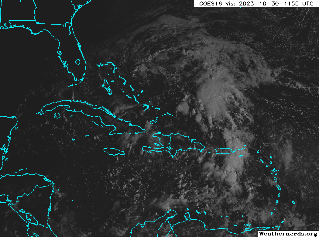
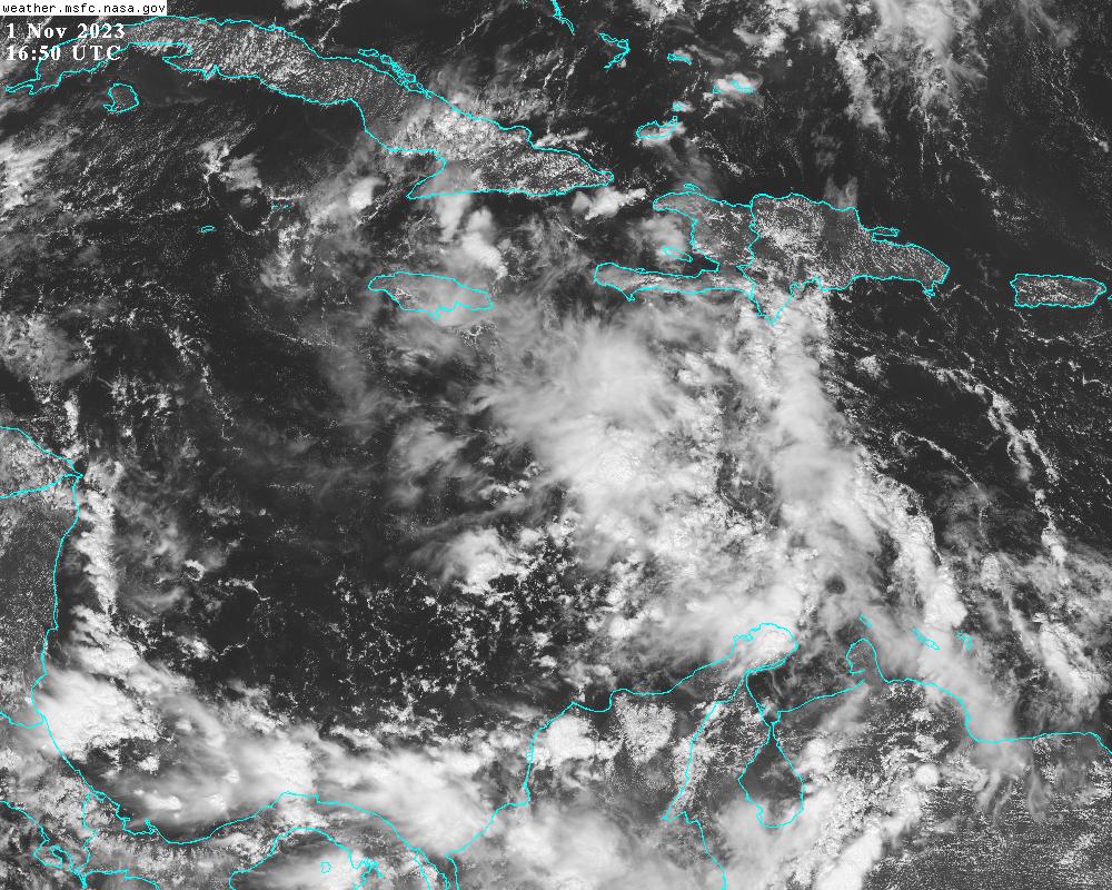
Of the two disturbances I mentioned in Monday's update, only the one in the Caribbean (Invest 97L) is still of interest. Today it's centered south of Haiti in the central Caribbean Sea and is expected to continue moving westward.


The National Hurricane Center is giving it a 20% probability of formation within the next two days and 40% within the next seven days.  However, on its current trajectory it will run into central America this weekend.

Models have become much less bullish on its development and intensification.  The European model ensemble barely finds anything trackable in the Caribbean, and the American model ensemble is generally very weak with just a small handful of stronger outliers.  With a much weaker system moving through the Caribbean, it's less likely to turn northward, so the tracks into Nicaragua look more reasonable now.


Strangely, it's not clear WHY this is failing to develop faster.  There are not obvious negative environmental factors in its way such as dry air or vertical shear, and the ocean under it is record-breakingly hot.  But the ample thunderstorm activity is just not consolidating around a center, so the pressure isn't falling, and the winds aren't increasing.  That can change quickly so we still have to be paying close attention, but it's at least off to a slow start.  Should this form and become a tropical storm, the next name on the list is Vince.

You may recall Hurricanes Eta and Iota in November 2020.  Both formed in the central Caribbean, and both made landfall as Category 4 hurricanes in Nicaragua just two weeks apart and a few miles apart.  Their tracks are shown below for reference, and as of now, there is absolutely no indication that this current system will intensify like they did.  But it's good to be reminded of what CAN happen in the western Caribbean in November and to watch things closely.


I will not have an opportunity to write another update until the 13th, so please keep an eye on NHC's website for the latest on any potential and active storms.

30 October 2023

Monitoring two areas for formation in the coming week


There are two areas of interest in the Atlantic that could become tropical cyclones in the coming week.  The first is near the northern Bahamas and the second is just south of Puerto Rico.  The one near the Bahamas (Invest 96L) has a hostile environment ahead of it, but the one in the eastern Caribbean (should soon be tagged as Invest 97L) is one to keep a close eye on.  The next -- and final -- two names on this year's regular list are Vince and Whitney.   


The discussion of Invest 96L will be very brief.  It's already encountering drier air and stronger vertical wind shear and both are expected to only become less favorable for development in the coming days.  Model guidance is in good agreement on it remaining very weak... either never form or perhaps briefly become a low-end tropical storm.  It will zip off to the northeast away from land and dissipate.


The feature in the eastern Caribbean is very poorly defined right now, but should gradually consolidate in the next couple of days.  There's a large difference between how the American and European model ensembles handle its future.  This first animation is a 10-day forecast from the American model's ensemble system.  The swarm of low pressures starts appearing on Wednesday and they track westward across the Caribbean.  The majority run into central America and subsequently dissipate, and about six of the members turn north and hit Cuba as a hurricane.  After Cuba, the Bahamas or even south Florida would be potential areas of concern.  The timing of the potential encounter in south Florida would be next Tuesday-Wednesday, but there is a LOT of uncertainty in this right now.


Switching over to the same animation from the European model ensemble, very few of the members do anything with it, and the ones that do are decidedly weaker than in the American ensemble.


But one thing is for certain: the Caribbean Sea is still extremely warm (1-2°C warmer than average for the date) and that warm water is deep, resulting in huge values of ocean heat content.  These factors will give a nudge to development and intensification, and be able to sustain a storm of any intensity.


Without a named storm out there, the Accumulated Cyclone Energy (ACE) is no longer accruing, and as of today, the 2023 tally is about 126% of average for the date.  But, as described in this post, we probably aren't done for the year yet.  Hurricane season officially ends on November 30.


Historically, the 2023 season sits rather high in the ranking for the date (in the top 12%):


23 October 2023

Hurricane Tammy's very uncertain future could involve Florida


Since my previous post on Thursday, Tammy reached Category 1 hurricane intensity prior to its approach to the Leeward Islands, but the eyewall passed just barely to the east of the islands.  It has been tracking northwest -> north since then, and unfortunately, that enormous uncertainty in the track forecast I pointed out on Thursday has not gotten any closer to being reduced.


As of Monday morning, Tammy is a Category 1 hurricane centered about 250 miles north of the Virgin Islands and it's moving north at 7 mph.  But by mid-week, models diverge significantly on the track forecast.  Among global model ensemble members, roughly half bring Tammy west toward Florida and the other half stall or go east into the open Atlantic.  But the greatest "track density" (shown below) is near south Florida on the 29th.


For the batch that reaches Florida, the timing as of now looks to be as early as Friday and as late as Sunday, with most making the closest approach on Saturday the 29th.  It's worth pointing out that there is a full moon on the 28th, so water levels could create tidal flooding problems around every high tide for the few days surrounding that... even without help from Tammy. 

Although it's still a long way out, the intensity guidance ranges from a very weak remnant to a Category 1 hurricane, so a tropical storm seems like a reasonable best guess for now if it makes the west turn.  If it goes east, it has a chance at becoming a stronger hurricane.  Most models show a fairly hostile environment if it goes west, so the odds of Tammy still being a hurricane by the weekend are pretty slim.

The official forecast from NHC drops it to tropical storm intensity by Thursday, and their track forecast is a compromise between the west and east scenarios, with a slight lean to the western ones.  If one scenario starts to dominate in the model guidance, their track forecast will reflect that.


Elsewhere, Invest 95L is a disturbance brewing in the far western Caribbean... about to move inland over Nicaragua.  It appears to be very close to becoming a tropical cyclone, and if it reaches tropical storm intensity, the next name on the list is Vince.  Otherwise, it will cross Nicaragua and could become a tropical cyclone in the East Pacific.


Looking at the Accumulated Cyclone Energy (ACE) through today, it's about 125% of average for the date and climbing higher above climatology each day while Tammy is around.


19 October 2023

Tammy forms and triggers watches & warnings in Leeward Islands


Invest 94L was upgraded to Tropical Storm Tammy on Wednesday afternoon; Tammy is the 20th named storm of this very active season.  It is forecast to become the season's 7th hurricane on Saturday as it passes over or very near the Leeward Islands.

As of Thursday morning, a tropical storm watch covers islands from Barbados up through Anguilla; the tropical storm warning and hurricane watch are for Guadeloupe.  These will definitely evolve, so stay tuned to NHC for the latest.  [link to map for a refresher on the names of the islands in the Lesser Antilles]


A useful product from NHC is the arrival time of tropical storm winds, overlaid on the probability of those winds occurring.  This too is updated every six hours, so check back on the NHC website.


The last hurricanes to pass over these islands were Maria and Irma in 2017... both at Category 5 intensity and only two weeks apart.  Thankfully, this time won't be anything remotely like that.  Intensity guidance from the models is in the tropical storm and Category 1 hurricane range when Tammy is crossing over the Leeward Islands. 

Beyond the weekend, models are in absolutely no agreement on where Tammy will go.  In one week, the ensemble spread of track forecasts from the global models spans from Haiti to Ireland and everywhere in between. So, best to just focus on 3-day forecasts for now until there's more consensus.


17 October 2023

Threat increasing for Leeward Islands this weekend

The easterly wave that was near Cabo Verde that I mentioned in my post last Wednesday has been creeping toward the Lesser Antilles and is now close to becoming a tropical cyclone.  It would be Tropical Depression 20 or Tropical Storm Tammy when the time comes.  The National Hurricane Center is giving this a 70% probability of becoming a tropical cyclone within 2 days and 80% within 7 days. 


The disturbance, tagged as Invest 94L, is located about 1200 miles east of the Lesser Antilles and could reach the northern islands (the Leewards) on Saturday, potentially as a hurricane.  Model guidance is still quite split on the future of this, ranging from barely a tropical storm to a Category 4 hurricane.  Although not plotted on the map of deterministic models below, the European model barely develops this beyond an open wave... not even a depression.  Although the ocean temperature ahead of it is plenty warm for development, there is some drier air and higher vertical wind shear in the coming days, and the models handle that differently.


Looking at the ensembles, I have the American and European model ensembles below.  The American model is decidedly more aggressive with the intensity forecast (the scale is central pressure, so lower values are stronger), which makes the storm more likely to follow the north end of the spread... while the European is generally weaker, which makes the storm more likely to follow the south end of the spread and hit the Leeward Islands.


Given the significant uncertainty in the intensity forecasts and the system being just four days away from the Leeward Islands, residents and tourists on those islands need to be watching this very closely and be prepared to take action if the forecasts start to solidify around the stronger scenarios.


The map below shows the tracks of the 19 storms so far this year.  Next to the names are the storms' peak intensity, minimum central pressure, and Accumulated Cyclone Energy.  Recall there are only 21 names on the regular list; the remaining ones are Tammy, Vince, and Whitney.  If the regular list gets exhausted, the supplemental list kicks in, and the first three names on that are Adria, Braylen, and Caridad.


11 October 2023

Cabo Verde season isn't over yet... watching Tropical Storm Sean and a second disturbance

"Cabo Verde season" is the portion of Atlantic hurricane season that refers to when easterly waves trek across Africa and emerge over the Atlantic Ocean near Cabo Verde... and a small percentage of them go on to become long-lived hurricanes.  The vast majority of the most infamous hurricanes are of Cabo Verde pedigree.  This season doesn't have exact bounds, but is generally mid-August through early October.  The large-scale environment tends to be too hostile for those easterly waves to develop before and after that timeframe.  So, the point of this introduction is that it's getting to be rather late to be watching one let alone two systems out there!


I suspect some of the reason for that is the anomalously warm water still present out there. On this map below, the sea surface temperature anomaly is the background image (in °C), Tropical Storm Sean's forecast track and track forecast cone are overlaid in the center, and the easterly wave's current position and potential formation zone in the coming week are shown by the yellow X and corresponding shaded area.


Sean is the season's 19th named storm, but probably won't be around much longer.  Conditions were only marginally favorable for development in the first place, and increasing vertical wind shear should limit the storm's lifetime to just 3-5 days.  But, a couple hurricane models show it turning to the north a little sooner, and missing some of the interaction with the stronger shear... allowing it to intensify in 4-5 days.  So we can't tune this out just yet.


The easterly wave that just left Africa is given a 30% probability of development in the coming week by the National Hurricane Center.  It's not expected to move very quickly, but models generally indicate that it will gradually develop and stay in the deep tropics... potentially reaching the Lesser Antilles in about 10 days.  However, at this long lead time, it's premature to venture a guess if it will be anything of concern to the Antilles... just something to watch and be aware of. Should it become a tropical storm, the next name on the list is Tammy.  

By the end of the day, the Accumulated Cyclone Energy (ACE) will be at about 124% of the climatological average for the date, and 105% of an average full season.


28 September 2023

Tropical Storms Philippe and Rina lurking in the deep tropics

Tropical Depression 17 formed on Saturday morning and was upgraded to Tropical Storm Philippe shortly afterward... and Tropical Storm Rina just formed on Thursday morning.  Both are located east of the Lesser Antilles and most likely will not affect land.  They are rather close together and in this satellite loop, it's even hard to tell them apart!  (Philippe is west of Rina)


Philippe has been hovering as a mid-range tropical storm all week, and its future is very interesting and uncertain... much more than normal.  This example is from the American global model (GFS) ensemble and is representative of the spread we're seeing in the other models.  One cluster dissipates the storm or at least keeps it weak as it heads west toward the Caribbean, while another cluster stalls, turns north, and becomes a strong hurricane.  In a few of the scenarios, this could be a close call for the extreme northeast Caribbean islands, so certainly something to pay close attention to there.  The NHC forecast is a hybrid of these outcomes: their forecast takes it west, then turning north well before reaching the islands, but keeping the intensity steady as a weak tropical storm. 


Tropical Storm Rina is located just 650 miles east of Philippe and is not expected to strengthen much.  It is the 18th named storm of the season... keep in mind the climatological average number of named storms in an entire season is 14.  There are a couple reasons for its modest intensity outlook: the proximity to Philippe and increasing vertical wind shear.


The Accumulated Cyclone Energy, or ACE, is at about 132% of average for the date, and 99% of an average full-season's total. Impressively, today is the 40th consecutive day of ACE accrual... the activity has been nonstop from Emily through Rina!


Although there are no other features of interest out there to monitor yet, the next couple of names on the list are Sean and Tammy.  As we head into October, activity from Africa begins to dwindle, and we start looking to the western Caribbean and Gulf of Mexico for formation areas.  The ocean temperature in these areas is also very warm compared to normal for this time of year, so not only does that give incipient storms a nudge, the area of "favorable" warm water is larger than normal too.


21 September 2023

Monitoring two new disturbances as Nigel exits the scene

Activity in the Atlantic has been relatively uneventful for the middle of September, so since my previous post on Friday, Lee did of course make landfall in Nova Scotia, Margot dissipated, and Nigel became a hurricane.  Today, Nigel is heading for colder water and won't be around much longer, but there are two areas of interest to keep an eye on.  The next two names are Ophelia and Philippe.


I'll start with Nigel.  It was upgraded to a hurricane on Monday morning and tracked north through the middle of the Atlantic.  It reached Category 2 intensity for a while late Tuesday into Wednesday, but is now a Category 1 hurricane again, and expected to become an extratropical cyclone by Friday morning as it heads toward Iceland... two weeks after leaving the African coast.


The first area of interest to watch for development is a low pressure that is beginning to form along an old stalled-out cold front.  It's centered east of the Florida peninsula and has been designated as Potential Tropical Cyclone 16 by NHC on Thursday morning.  That means it still hasn't formed, but is expected to and warrants some tropical storm warnings.


It already has characteristics that are more subtropical than tropical, but either way, it would get named and NHC will issue advisories and forecast products for it.  The forecast brings it north to a landfall in North Carolina on Saturday morning as a (sub)tropical storm. Tropical storm force winds will likely arrive in eastern NC on Friday evening.  You can find the full suite of the latest forecast products at https://www.nhc.noaa.gov/graphics_at1.shtml?start#contents

Parts of North Carolina, Virginia, and Maryland could see 2-4 feet of the storm surge from this over the weekend, and the threat of flooding rain is increasing from North Carolina up into New England.


Much further east is an easterly wave that left the African coast on Tuesday.  It's located just southwest of Cabo Verde and is expected to track generally west-northwest for the next week or so, then its future path becomes harder to predict.


This is not an Invest yet, so we are limited to global models and their ensembles for guidance.  The two skillful ones we typically look at are the American (GFS) and European (ECMWF).  These two images below show the tracks from the GFS (top) and ECMWF (bottom) ensembles, ending next Friday evening. Although both of them are pretty consistent in bringing it up to hurricane intensity by Tuesday-ish, and both of them have a general tendency to turn it north by the time gets to 60°W-ish, the GFS ensemble does have more members that show a hurricane clipping the northeast Caribbean islands.  This is something we need to watch closely, because if that route starts looking more likely, it makes the northward turn less likely which has implications in the following days.


Again, the next two names are Ophelia and Philippe and it's not clear yet which of these two systems will become a tropical (or subtropical) cyclone first.

The Accumulated Cyclone Energy, ACE, is about 142% of average for the date.