
I labeled the features on the satellite image above, and among the five of them, only Gert is not a consideration in the coming days. Emily could make a comeback, Franklin will likely become the second hurricane of the season, 92L and what I'm calling future-93L have medium chances of development in the next few days. For the sake of brevity, I will limit today's update to just the two westernmost systems: the one over central America and Franklin.
Franklin passed directly over Hispaniola on Wednesday, never losing tropical storm status. Now the forecast brings it northward toward Bermuda, but it should pass safely west of the island on Monday into Tuesday. Only the easternmost model outliers bring Franklin close enough to cause notable impacts. However, since it's forecast to be nearly a Category 3 hurricane at the time, Bermuda needs to be paying close attention to any eastward shifts in the forecast track. If tropical storm conditions do reach the island, they would begin Monday morning. (Bermuda is the black speck in the top-center of the satellite animation below)

Now on to the system over central America. As of early Thursday afternoon, it has not been tagged as an Invest yet, but the next in line is 93L. That also means we don't yet have the full suite of model guidance available for it, but we can use the global models and their ensembles for now.
.gif)
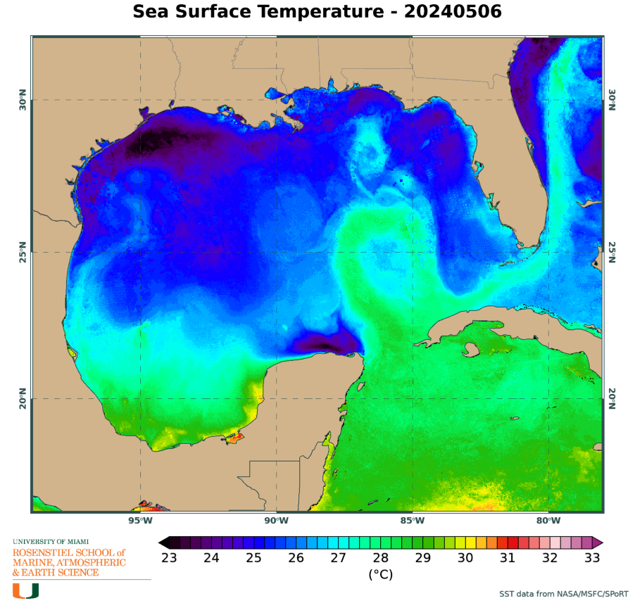
This has plenty of model support for crossing into the western Caribbean on Friday, then slowly oozing its way north into the southern Gulf of Mexico on Monday morning. Then there's a bit of spread in track forecasts... from south Florida up to the Florida panhandle. As of now, there's no guidance to indicate a hurricane threat, but given the super-warm water temperatures in the eastern Gulf, it's too soon to discount that possibility.
Between the European and American deterministic and ensemble models, the European is decidedly more bullish with this... the ensemble spread is shown below, where each L represents the low pressure center from an ensemble member. You definitely don't want to extract any details from this, but it's useful to see the spread in track and intensity, then importantly, to compare this to future cycles to see the trends.

Should this become a tropical storm, the next name on the list is Idalia, which replaces Irma (retired after 2017). Last year's "I" storm (Ian) also came from the western Caribbean and headed for the west coast of the Florida peninsula, but mercifully as of now there is zero indication of anything like that happening this time around.
The recent flurry of activity has been so minimal that it actually generated less ACE (Accumulated Cyclone Energy) than what happens climatologically! It's at about 91% of average for the date, and slipping further behind the average each day. That could start reversing if Franklin becomes a strong hurricane for a few days.

No comments:
Post a Comment