

Confidence is growing that the center of Hurricane Isaías will remain just off the east coast of Florida, but be close enough to bring wind, rain, and storm surge, particularly in the central and northern portions (where a landfall is not out of the question). There is also increasing confidence from consecutive model cycles that South Carolina or North Carolina could be looking at a hurricane landfall on Monday. Very few deterministic model runs or ensemble members keep the center of the hurricane completely offshore now. The following map shows the probability of locations experiencing tropical storm force winds within the next five days as well as the most likely arrival times of those winds.

Prior to reaching the network of U.S. radars, there will be radar coverage of it from Cuba and the Bahamas: http://bmcnoldy.rsmas.miami.edu/tropics/radar/
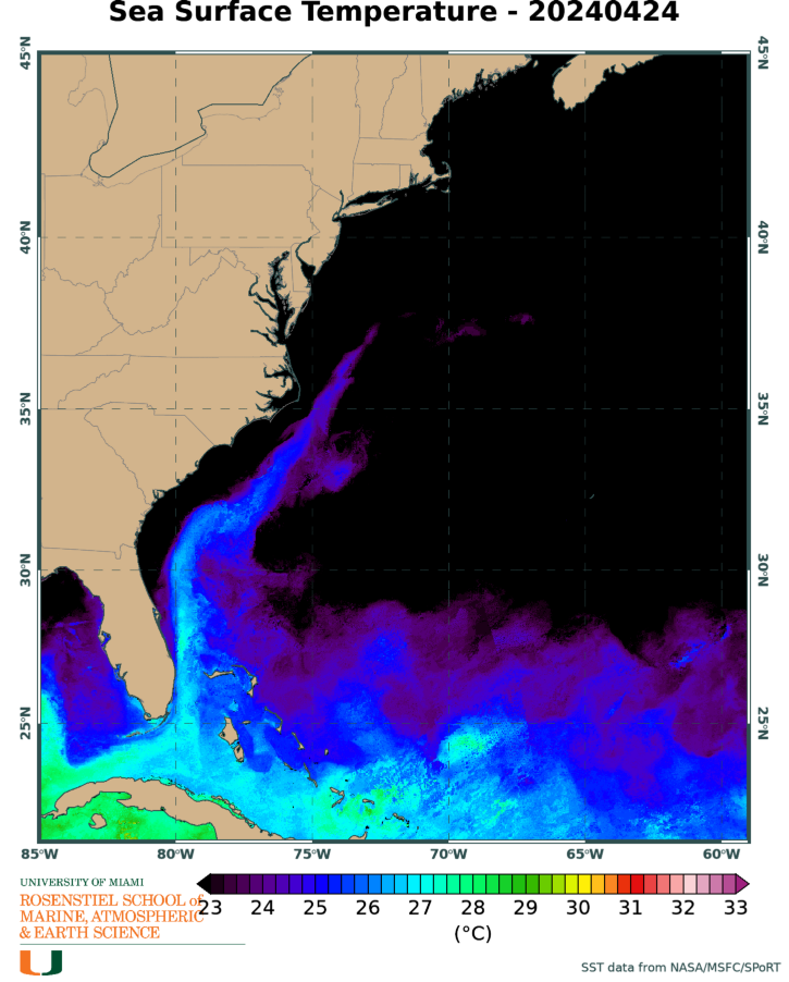
As of Friday morning, the official forecast shows Isaías reaching Category 2 intensity over the central Bahamas, then starting to weaken. There's actually not even much model support for it reaching the Category 2 mark. While the ocean temperatures are plenty warm to sustain a very strong hurricane, increasing vertical wind shear should limit how much intensification will take place, and there is a band of dry air ahead of it which could start to work its way into the circulation.
In terms of Accumulated Cyclone Energy (ACE), the 2020 season is at about 238% of average for this date, using the past fifty years as the baseline for the average. The last season to be higher than 2020 by now was 2008 and then 2005 before that. ACE is a commonly-used metric for tropical cyclone activity, and is calculated by adding up the squares of the intensities of every storm, every six hours -- it's a crude way of measuring the combination of intensity and duration, and is independent of the actual number of named storms.

Thank you, I appreciate your analysis.
ReplyDelete