 |
| Surface wind field showing the circulations of the three active tropical cyclones in the Atlantic. (earth.nullschool.net) |
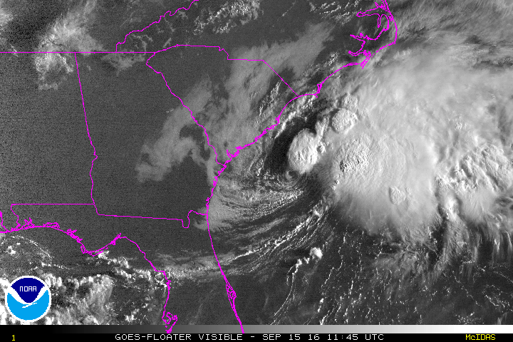 |
| Sunrise over Tropical Depression Julia on Thursday morning. |

And finally, Tropical Depression 12 is still forecast to battle with dry air for the next few days, but probably have a shot at intensification next week. Should it reach tropical storm status, the next name on the list is Karl. It's presently not looking very ominous... just a low-level swirl with some widely scattered thunderstorm activity to its south.

The long-range forecasts are worth paying some attention to, at least to start watching for trends and consistency. The plot below shows track forecasts from a variety of dynamical models out to 5-7 days, as well as the NHC forecast (black line). There is general agreement that it will continue its westward motion and reach the area north of the Leeward Islands by late next week. It is far too early to say anything certain about the intensity at that time, but for what it's worth, today's model runs indicate it would not be a hurricane at that point.

Stay tuned!
- Visit the Tropical Atlantic Headquarters.
- Subscribe to get these updates emailed to you.
- Follow me on Twitter
No comments:
Post a Comment