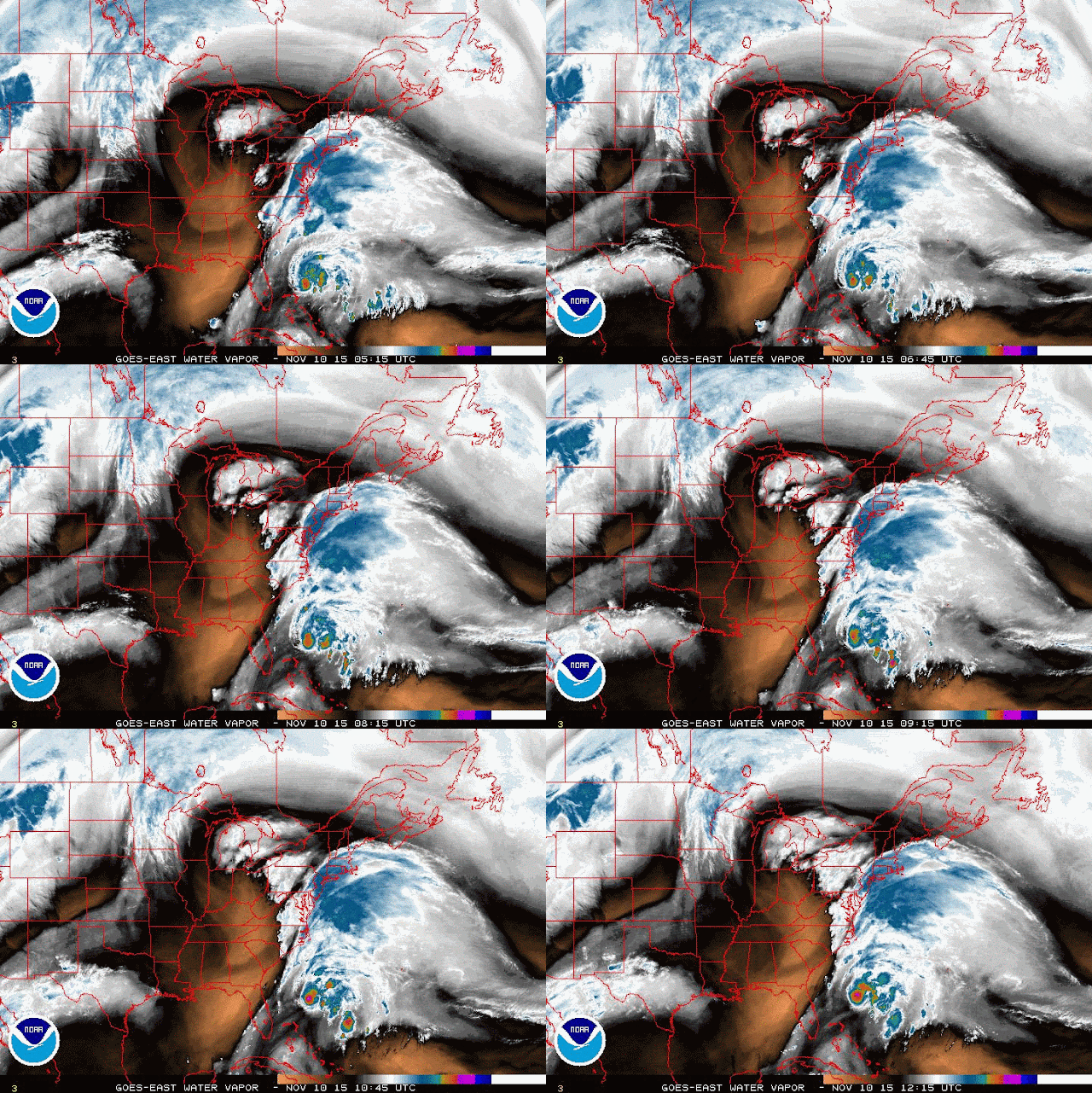
It is being forced out to sea by a deep trough, which shows up nicely on water vapor images:
If Kate does reach hurricane intensity, it would join the ranks of only 39 other known hurricanes to form during November since 1851. Typically by now, the Cape Verde season has long-since shut down (the easterly waves moving off of Africa), and the Gulf of Mexico is commonly influenced by cold fronts. But the western Caribbean is a hot zone for formation, as well as along and on the ends of fronts. In this map I show the tracks of the 39 November hurricanes as well as their formation point, which is marked with a white dot. I added a cyan dot where Kate formed for reference.
- Visit the Tropical Atlantic Headquarters.
- Subscribe to get these updates emailed to you.
- Follow me on Twitter


oh my God. please for my world is peace
ReplyDeleteteechip
fabrily
sunfrog shirts
teezily
snorgtees
redbubble
bustedtees
funny dog tshirts
dog night shirts
dog sport shirts
bonfire funds
tfund
skreened
shirt magic
merchify
design4t
viralstyle
sell my tees