
0-48-hour tropical cyclone formation probability determined from an ensemble of
output from four global models: GFS, ECMWF, CMC, and NAVGEM. (NOAA/EMC)
First, there is a 1008mb Low in the Bay of Campeche with widespread disorganized thunderstorm activity... festering in place for days where Barbara's remnants were after it crossed over from the East Pacific last week. There is also heavy thunderstorm activity that spreads across the Yucatan peninsula and into the extreme northwestern Caribbean. Anywhere in this vicinity is a possible focus for formation.

Sunrise satellite image (the horizontal white lines are missing data).
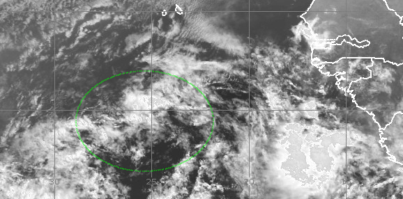
The second disturbance is an easterly wave centered near 26W (just SSW of the Cape Verde islands). Though it is visually less impressive than it was on Friday, it is still a viable and trackable entity that several models develop as it heads west across the deep tropics. Among the models that develop it, they agree quite well on it tracking west for the next several days, then gradually turning northwest, bringing it just north or northeast of the Lesser Antilles by the middle of next weekend. Clearly, we have plenty of time to see what happens to it before it's a threat to any island or landmass.
Today is the second day of the official Atlantic hurricane season, and as a reminder, the first two names on the list are Andrea and Barry. Climatologically, we don't get the first tropical storm until July 9, but there is a large variation around that in individual seasons.
- Visit the Tropical Atlantic Headquarters.
- Subscribe to get these updates emailed to you.
- Follow me on Twitter
No comments:
Post a Comment