23 June 2020

Dolly forms south of Nova Scotia


The tropics have sparked back to life, sort of. Subtropical Depression 4 formed on Monday afternoon north of Bermuda. By Tuesday afternoon, it had consolidated and strengthened enough to get upgraded to Tropical Storm Dolly, the fourth named storm of the season. As of 5pm EDT on Tuesday, Dolly has peak sustained winds of 45 mph and is forecast to weaken as it heads northeast over cooler water. It has had the benefit of the warm Gulf Stream water up until now.


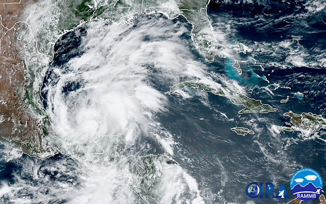
Zooming out of that first satellite image a bit, we see Dolly located south of Nova Scotia, and we also see the spectacular plume of Saharan dust that has been making its way across the tropical Atlantic for the past week or so. It now covers Puerto Rico, Hispaniola, Jamaica, and Cuba. It will reach south Florida on Wednesday. This is a very common thing to happen in June and July, but this plume happens to be more dusty/dense than most, so it's getting more attention than most.


We're already on the fourth named storm on June 23. Over the past 50 years, the average date of fourth named storm formation is AUGUST 21! Only two other years have had four named storms by this date: 2016 and 2012. Those years ended up with 143% and 133% of the activity in an average year, respectively (defined in terms of ACE, or Accumulated Cyclone Energy).

Once this big Saharan Air Layer outbreak settles down, the tropical Atlantic should become more conducive for activity (another 1-2 weeks?)... and the next two names on the list are Edouard and Fay.

P.S. If anyone wants an excursion, 2008's Dolly was a very interesting hurricane!

07 June 2020

Tropical Storm Cristobal to make landfall midday Sunday south of New Orleans


The center of Tropical Storm Cristobal is just 60 miles from the Louisiana coastline as of 8am CDT, but storm surge and associated thunderstorms sprawl for hundreds of miles east of the center, affecting Mississippi, Alabama, Georgia, and Florida. Maximum sustained winds are 50 mph and it's moving to the north at 12 mph. This will bring it to landfall shortly after noon, local time. However, there's nothing too special about the technical landfall since the storm is so broad and disorganized... impacts extend far from the center all day.

(this and other long radar loops of Cristobal are available at http://bmcnoldy.rsmas.miami.edu/tropics/radar/)

One of those impacts is storm surge, which is water that gets pushed onto land by the storm's wind. Fortunately, Cristobal will generate only modest storm surges, peaking in the 3-5-foot range in eastern Louisiana. This below with the inset shows an example from Shell Beach, LA... the unfortunate part is that the maximum surge should arrive right around high tide, resulting in water levels that are perhaps 5 feet above the normal high tide.


Another impact will be flooding due to heavy rain. And this is not limited to a coastal event like storm surge is. Flooding rainfall will follow Cristobal up into Mississippi, Arkansas, Missouri, Illinois, Iowa, etc. There will be an interaction with an approaching mid-latitude cyclone which will amplify the rainfall totals so far north.


Finally: tornadoes. All landfalling tropical cyclones are capable of spawning numerous tornadoes, and Cristobal is no exception. On Saturday night, there were seven tornado reports in the northern Florida peninsula near Orlando. More are possible today in eastern LA, south MS, southern AL, and the Florida panhandle. These are typically weak but fast-moving, so be on high alert today for warnings and have a shelter plan already in mind.

05 June 2020

Cristobal starts moving north, warnings issued for US Gulf coast

As expected, Cristobal spent the majority of this week sitting nearly stationary over the Yucatan Peninsula and Bay of Campeche. It briefly weakened to a Depression for a day, but is now back at tropical storm intensity. The large circulation is lopsided, with most of the "business" on the east half of the storm. The rainfall in south Mexico and parts of central America has been devastating, and now it begins its trek toward the U.S.


Rain will be a big player in the U.S. as well, and the 5-day forecast accumulations highlight Cristobal's predicted path well. Large swaths of 4"+ with localized amounts up to a foot will produce flooding in the affected areas (see map below).

It's likely to maintain tropical storm status as it heads north, and those tropical storm force winds should reach the northern Gulf coast by Saturday evening into Sunday morning.  The actual landfall (when the center crosses the coastline) is not expected until Sunday afternoon... somewhere in Louisiana most likely. Along with the new tropical storm warnings, storm surge warnings have also been issued for parts of the northern Gulf coast. Models are in really tight agreement on the track and intensity forecasts, so hopefully there are no surprises.


Of note, this is the first storm to utilize the experimental "peak storm surge" graphic that NHC has only produced in-house previously. It is part of the suite of the products available at https://www.nhc.noaa.gov/graphics_at3.shtml?start#contents. Note the maximum area in MS and eastern LA, just east of where Cristobal is expected to make landfall.


03 June 2020

Cristobal makes its first landfall in Mexico

Surface winds (white streamlines) and precipitable water (shaded background) from Wednesday morning as Cristobal made landfall in Mexico. (earth.nullschool.net)

Less than one day after becoming the earliest third named storm on record, Cristobal made landfall near Ciudad del Carmen, Mexico as a tropical storm with 60mph peak sustained winds. The rainfall has been the biggest problem in the region, with at least 20 people already killed by this storm.


Cristobal is expected to weaken now that the center is over land, but by late this week it is forecast to start moving north again and back into the Gulf of Mexico. This will allow it re-intensify and pose a threat to the northern Gulf coast late this weekend.

Track and intensity forecasts from the European model and its ensemble. The numbers along the way are hours from Tuesday evening. (UAlbany)

As of now, it does not appear likely that this will be a big wind or storm surge threat, but heavy rain is on its way to a large area later this weekend into early next week. In the outside chance that this does intensify more though, stay tuned to NHC for updates every day.


02 June 2020

Third named storm, Cristobal, forms as hurricane season begins


Tropical Storm Amanda formed in the East Pacific back on May 30, then tracked north into Guatemala where its circulation dissipated. The remnants then crossed into the Bay of Campeche on June 1 and organized into Tropical Depression 3 later on the first official day of hurricane season. Today, June 2, it has further strengthened into Tropical Storm Cristobal, the third named storm of the 2020 Atlantic hurricane season. Climatologically, the third named storm forms on August 13th, so this is about ten weeks ahead of par during a season that is expected to see above-average activity. In fact, this is the earliest formation of the third named storm on record!


Cristobal is forecast to remain nearly stationary in the Bay of Campeche for another 3-4 days before gradually drifting north across the Gulf of Mexico. Heavy rainfall will continue in southern Mexico, Belize, and Guatemala. Then the uncertainty sets in. Recent runs from the European model's ensemble favor development in the Gulf and a strong tropical storm (a hurricane is not off the table either) making landfall in the Texas-Alabama span of coastline this weekend.


The one-week cumulative rainfall forecast from the same model's deterministic run shows a wide area of high rainfall totals: 


This is clearly something that interests in the U.S. have some time to watch, but let this be a reminder to everyone in a hurricane-prone area to use this first week of hurricane season to make your preparations and plans for the coming six months.

I know I didn't write a post about Bertha one week ago, but it was a named storm for about nine hours off the coast of South Carolina... aside from the flooding rain its precursor brought to south Florida, it was fairly uneventful. After Cristobal, the next couple of names on this year's list are Dolly and Edouard.