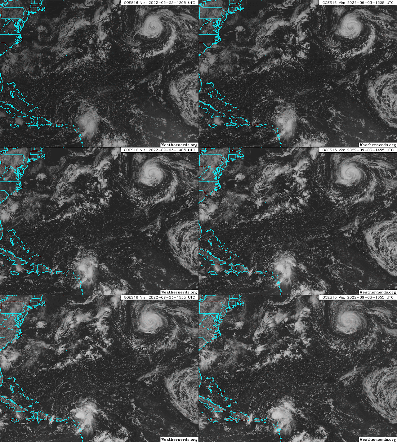
In the satellite animation above, Tropical Storm Danielle is at the top and is centered about 800 miles west of the Azores... it's nearly stationary now but is forecast to gradually accelerate toward the northeast beginning Monday. It should also regain hurricane status by then too.
Tropical Storm Earl is the feature just north of the Leeward Islands in the satellite animation. It is still battling dry air, and the low-level circulation is nearly exposed on the west side of the storm -- though some intense thunderstorms developed over the center toward the end of the loop, zoomed in below.
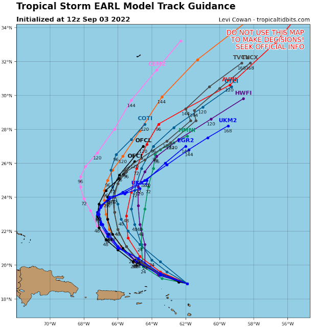
Earl is expected to remain north of the islands, and turn northward by Monday. Although the NHC forecast keeps it as a tropical storm through the next five days, there is growing consensus among models that it could reach at least Category 1 hurricane intensity on Tuesday or Wednesday.
With two active named storms now, ACE is finally being accrued, slowly. The tally as of today is about 16% of the average value over the past 50 years. But it's still exceptionally low, and the most recent years that had even lower values by this date were 1988, 1984, and 1946. To put that in perspective, a 34-year-old person has not even been alive to witness such a slow start to an Atlantic hurricane season!

.gif)


No comments:
Post a Comment