 |
| An active scene across the Atlantic: two tropical storms (red), two tropical depressions (blue), and one Invest (yellow). |
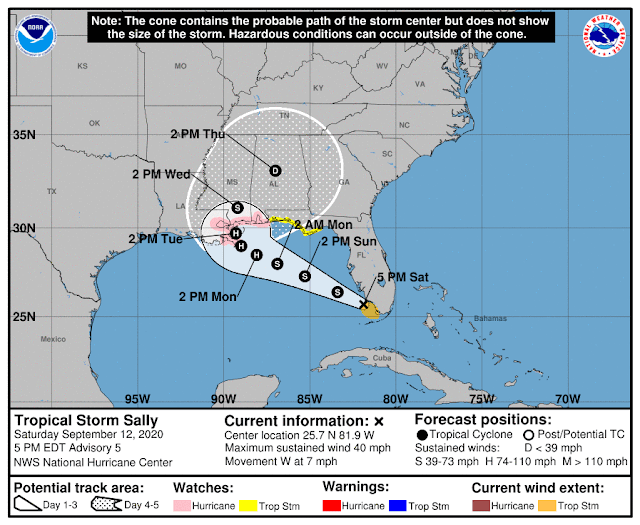
Invest 96L, the one that was over the Bahamas yesterday, was upgraded to Tropical Depression 19 on Friday afternoon, and then again to Tropical Storm Sally on Saturday afternoon -- immediately upon exiting the southern Florida peninsula. This is the earliest 18th named storm by an incredible 20 days!!
Sally organized relatively quickly, from a marginal tropical depression to a strengthening tropical storm in a day... but that day was spent mostly over land! While the wind has expectedly not been a big problem, very heavy rain has fallen in the Florida Keys on Saturday... relentlessly.
The center is over the Gulf of Mexico now, and land interaction will become a decreasing influence, so it is fully expected to strengthen more. The official forecast from NHC brings it to Category 1 hurricane status on Monday, prior to landfall in the LA-MS-AL area, but there is some model support for more aggressive intensification. A hurricane watch is in effect for that area of the coastline. Sally is forecast to slow down as it approaches the north-central Gulf coast, making heavy rain and flooding a larger-than-average concern for the area.
Next in line is Paulette... en route to Bermuda. This strengthening tropical storm is forecast to make a direct hit on the tiny island on Sunday night into Monday morning, as at least a Category 2 hurricane. After that, it will turn toward the northeast and head into the north-central Atlantic as a potent extratropical cyclone by next weekend. The last few hurricanes to impact Bermuda were Nicole (2016), Gonzalo (2014), Fay (2014), and Igor (2010).
Next is Rene, which fortunately does not offer much to talk about. It is a small and very weak tropical depression located well to the southeast of Paulette. It will probably linger around for a few more days as a depression, but is not expected to make a comeback.
Then we have Invest 95L which was just upgraded to Tropical Depression 20 on Saturday afternoon. It is poised to become Tropical Storm Teddy soon, which would make it the 19th named storm of the season. This is centered about 2000 miles east of the Lesser Antilles and moving slowly toward the west-northwest at 9 mph.
Over the past few days, models have come into better agreement on this turning toward the northwest long before reaching the Antilles... at this point, it would be hard to see things changing significantly back the other way with a track into the Caribbean. There is also consensus among the models that this will intensify into a hurricane in 2-3 days, and possibly a very strong hurricane. We will need to keep one eye on this in the coming days (I realize we're going to run out of spare eyes) just to watch for trends in the ensembles regarding that northward turn.
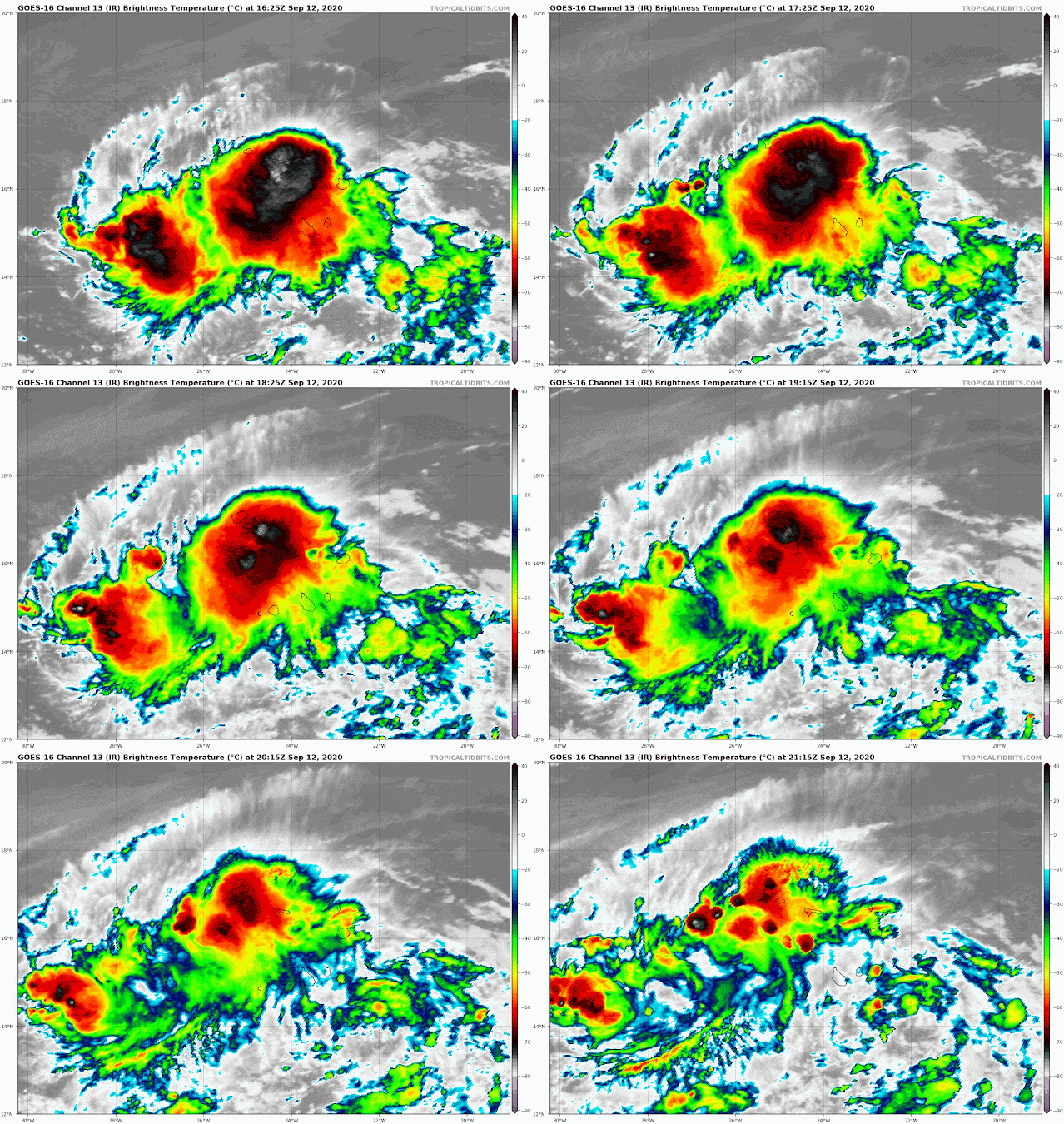
And finally, the wave that exited the African coast a couple days ago is now located near the Cabo Verde islands and has a good chance of becoming a tropical depression or storm in the next 2-4 days. If this gets named, the next name after Teddy is Vicky (and at that point, only Wilfred remains until we dig into the Greek alphabet).


No comments:
Post a Comment