
This is now my 31st year writing these updates on tropical Atlantic activity. During that time, I have written approximately 1470 posts spanning 488 tropical cyclones including 228 hurricanes, 107 major hurricanes, and 57 retired storm names.
I began writing these posts in the summer of 1996 (prior to starting my junior year of college), and the internet and data availability looked very different then. We were still at least a decade away from social media. I was honored to be asked to write blog posts for the New York Times from 2007-2010 and then the Washington Post's Capital Weather Gang from 2012-2019.
I plan to continue this blog into 2026, but that also seems like a good milestone to wrap it up. I know some of you reading this have been following along the entire time, but whether you've been reading these posts for 1 year or 30 years, I truly appreciate your interest!
Now, on to the tropics. Over the past week or so, a poorly-organized disturbance has been festering over Central America, then crossed the Yucatan Peninsula, then oozed across the Bay of Campeche, and is now located inland over southern Texas.
It has been tagged as Potential Tropical Cyclone One, which is a fancy way of saying it's still just an area of interest, but could develop soon and tropical storm watches and warnings have been issued for parts of coastal Texas and Louisiana. If it becomes a subtropical or tropical storm, the first name on this year's list is Arthur.
Although it will only have a brief window to exist as a tropical cyclone over water on Wednesday, the primary threat from this system is not wind, it's water. Extended periods of heavy rain from Texas into Georgia and surrounding areas will result in widespread flooding through the rest of this week.
If this does became a named storm, 2026 will be the fifth consecutive year with the first named storm forming in June... prior to that the first named storm formed before June 1 for seven consecutive years.
I'll take the rest of this post to look at a bigger picture. A much-anticipated El Niño has just begun, and model forecasts indicate it will become a strong one in the coming months. In general, that will act to suppress Atlantic hurricane activity, especially in the deep tropics where its influence on vertical wind shear is the greatest.
Unlike in 2023 when there was an El Niño and record-warm water temperatures across the Atlantic producing competing nudges on hurricane season, this season is beginning with near-to-below-average water temperatures across the deep tropical Atlantic as we look ahead to a very strong El Niño.
As such, the seasonal outlooks are generally indicating below-average activity this season. The average season has 14 named storms, 7 hurricanes, and 3 major hurricanes, so a slightly below-average season could still have 11 named storms, 5 hurricanes, and 2 major hurricanes (from the Colorado State University forecast released on June 10). It is just as important to stay vigilant and prepare for hurricane season this year as in any other year.
If you missed my first two posts earlier this year, they are available here...


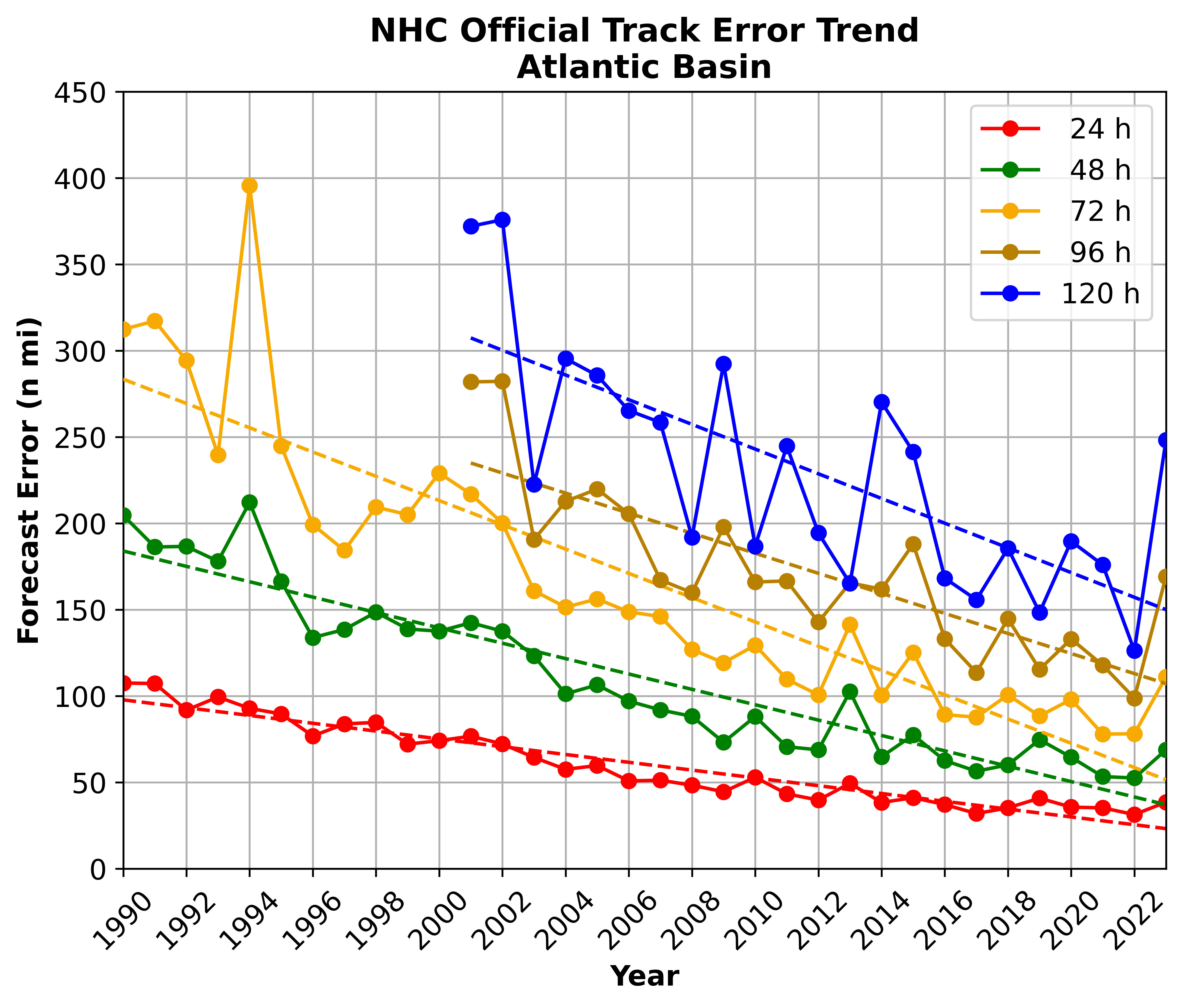
 Anyone who lives on or near a hurricane-prone coast is undoubtedly familiar with the track forecast cone or "cone of uncertainty" which has been produced by the


