 Of the two disturbances I mentioned in
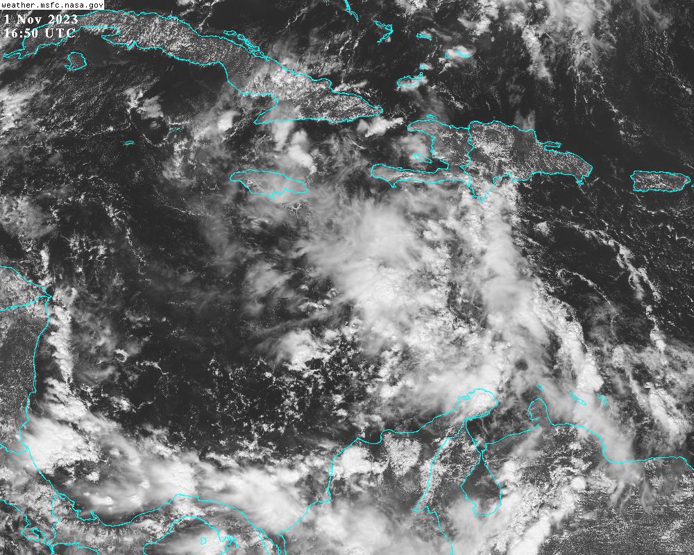
The National Hurricane Center is giving it a 20% probability of formation within the next two days and 40% within the next seven days. However, on its current trajectory it will run into central America this weekend.
Models have become much less bullish on its development and intensification. The European model ensemble barely finds anything trackable in the Caribbean, and the American model ensemble is generally very weak with just a small handful of stronger outliers. With a much weaker system moving through the Caribbean, it's less likely to turn northward, so the tracks into Nicaragua look more reasonable now.

Strangely, it's not clear WHY this is failing to develop faster. There are not obvious negative environmental factors in its way such as dry air or vertical shear, and the ocean under it is record-breakingly hot. But the ample thunderstorm activity is just not consolidating around a center, so the pressure isn't falling, and the winds aren't increasing. That can change quickly so we still have to be paying close attention, but it's at least off to a slow start. Should this form and become a tropical storm, the next name on the list is Vince.
You may recall Hurricanes Eta and Iota in November 2020. Both formed in the central Caribbean, and both made landfall as Category 4 hurricanes in Nicaragua just two weeks apart and a few miles apart. Their tracks are shown below for reference, and as of now, there is absolutely no indication that this current system will intensify like they did. But it's good to be reminded of what CAN happen in the western Caribbean in November and to watch things closely.

I will not have an opportunity to write another update until the 13th, so please keep an eye on NHC's website for the latest on any potential and active storms.
No comments:
Post a Comment