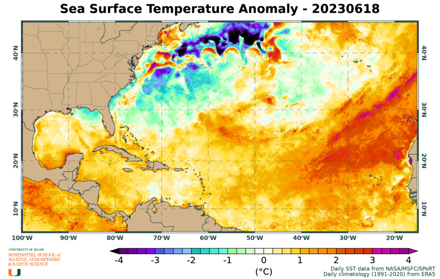
As I mentioned in Saturday's post (What month is it?), the location of this activity is extremely unusual for mid-June... it's what we would typically see in another 2-3 months. But anomalously-warm water in the tropical east Atlantic is accelerating the Cabo Verde season.

On Monday, Invest 92L was upgraded to Tropical Depression 3, and it's fully expected to become a tropical storm soon and the season's first hurricane by Thursday... the next name on the list is Bret.
This nice super-ensemble track density map (combines four global model ensembles) from Tomer Burg shows that the vast majority of model tracks go into the Caribbean, with a few stragglers turning to the north before reaching the Lesser Antilles. It's worth noting that those few stragglers are on the stronger end of the guidance (in other words, scenarios that include quicker intensification generally are quicker to turn north).

For the most part, the intensity shown by models is on the low end as it enters the Caribbean on Friday (tropical storm, maybe Cat1 hurricane), but one notable exception is the skillful HWRF model which turns 16 years old this year. It brings future-Bret into the central Lesser Antilles as a Category 3 hurricane on Friday morning then into Puerto Rico as a Category 4 hurricane on Saturday night. Granted, this is just one model, but it's not just one cycle; it's been consistently showing a strong hurricane reaching the Lesser Antilles. It's absolutely worth considering as a plausible (though not likely) scenario.
The official NHC forecast (as of Monday morning) is shown below and brings future-Bret into a Caribbean as a Category 1 hurricane, but they include an important sentence in the discussion: "This intensity forecast is also more uncertain than normal, due to the differences in the model suite, along with the aclimatological nature of this system."

Then, not far east of TD3 is another area of interest, Invest 93L. Model guidance so far indicates it could take a similar track to what TD3 will, though perhaps a little more likely to turn to the north before reaching the Lesser Antilles. I won't spend much time on it yet, but if it continues to develop, there will be more detail in future posts. If it also becomes a tropical storm, the name would be Cindy. It's just very bizarre to be seeing this in June!
.gif) |
| Visible satellite loop over TD3 (left) and Invest 93L (right). |
Using the 1991-2020 climatology, the average dates of the second and third named storms are July 15 and August 2, so just getting Bret this week would be exceptional. Even more exceptional would be if TD3 becomes a hurricane in the coming days -- the average date of first hurricane formation is August 11!

- Visit the Tropical Atlantic Headquarters.
- Subscribe to get these updates emailed to you.
- Follow me on Twitter
No comments:
Post a Comment