
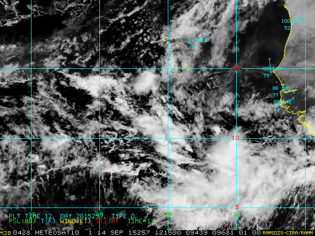
An easterly wave that exited the African coast last Thursday has gotten slightly better organized and could become Tropical Depression 9 later today or tomorrow. It is currently centered about 1400 miles east of the Windward Islands and is moving toward the northwest. If it eventually becomes a tropical storm, the next name on the list is Ida. However, as of Monday morning, it is decidedly not an impressive feature on satellite images... it's a tiny swirl with minimal thunderstorm activity. In fact, it's hard to find unless you know where to look! In the satellite image below, I drew an arrow pointing down to the feature of interest.

Further east, another easterly wave has just exited the African coast and models strongly favor its development as well. Like the one to its west, this would also very likely recurve to the north long before reaching any land areas. But, if it also develops into a tropical storm, the name after Ida is Joaquin.
- Visit the Tropical Atlantic Headquarters.
- Subscribe to get these updates emailed to you.
- Follow me on Twitter
This comment has been removed by the author.
ReplyDelete